The United States increased in size by one million square kilometers (more than 386,000 square miles) just a few weeks ago; that is nearly twice the size of Spain. The unexpected development spike was caused by the States striving to assert their claim to the surrounding ocean-floor territory, not by unusual geological processes or the invasion of a foreign land.
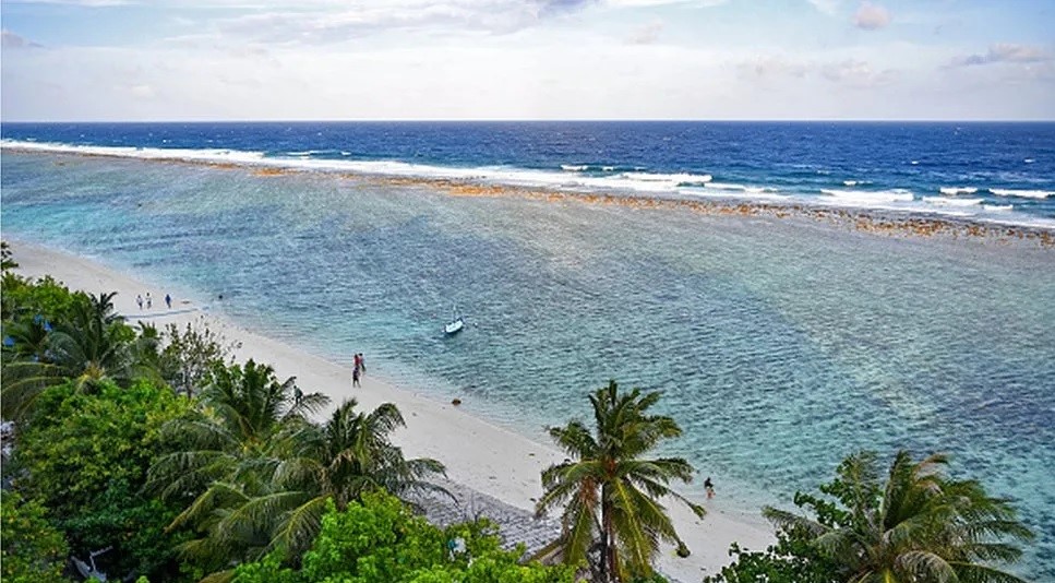
Large landmasses are encircled by continental shelves, an area of seafloor where the water is comparatively shallower than in the open ocean. These continental shelves are claimable by nations under international law, giving them the authority to control and utilize the resources inside.
The area of the continental shelf that is farther than 200 nautical miles (230 miles) from the coast is known as the Extended Continental Shelf (ECS), and up to 75 countries have established their ECS boundaries. The US hasn’t done this up until now.
The US State Department declared new geographic coordinates establishing its purported ECS area on December 19, 2023.
In order to establish the outside boundaries of their ECS, US officials have been working with the NOAA, the US Geological Survey, and twelve other agencies to acquire geological data since 2003.
The US currently claims ECS in seven offshore regions as a result of this work: the Arctic, the Atlantic (east coast), the Bering Sea, the Pacific (west coast), the Mariana Islands, and two regions in the Gulf of Mexico. This takes up an area totaling one million square kilometers, which is greater than 386,000 square miles.
Mead Treadwell, a former lieutenant governor of Alaska and chair of the U.S. Arctic Research Commission, stated on December 19 that “America is larger than it was yesterday,” according to Alaska Public Media.
It differs from the Louisiana Purchase. Although it’s not quite the acquisition of Alaska, the new territory and undersea resources under US control are two Californias greater, he continued.
Treadwell clarifies in an article for the Wilson Center that the legalities of all this is a little questionable. The United States must provide information and reports to the United Nations Convention on Law of the Sea (UNCLOS) in order for the definition to become official. Nevertheless, complicated political differences have prevented the US from ratifying UNCLOS, despite 168 states and the EU having done so.
Also read: Amazon rainforest: 3 millennia-old ancient cities discovered.


This raises some questions about whether the proposal will be recognized by international law.
“If somebody came back and said, ‘Your science is bad,’ I think the United States would listen,” Treadwell told the media. “But I don’t think science is bad. I think we’ve had very good science.”
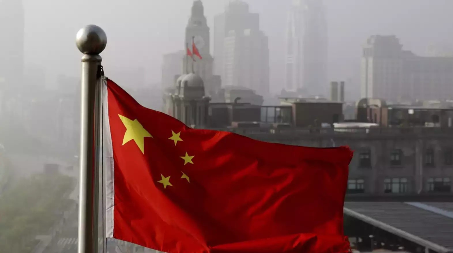
It goes without saying that drawing new maritime borders can be contentious on a global scale. China’s territorial claims in the South China Sea with neighboring countries like the Philippines and Vietnam have been at the center of some of the most major geopolitical disputes in recent memory.
But the US has a lot to gain from this new announcement. Despite the possible harm it could do, the Arctic Ocean’s ocean floor territory extension could allow for more shipping, fishing, and mining in the region.
It also affects how the country exercises its power internationally and its security. “Because he who controls the sea, controls the trade; he who controls the trade of the world, controls the riches of the world, and consequently the world itself,” wrote Sir Walter Raleigh in the seventeenth century.